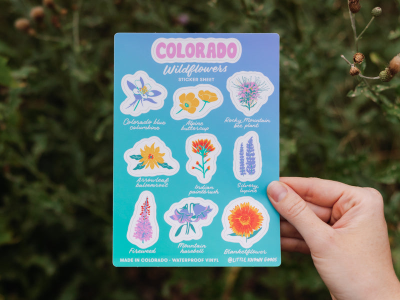
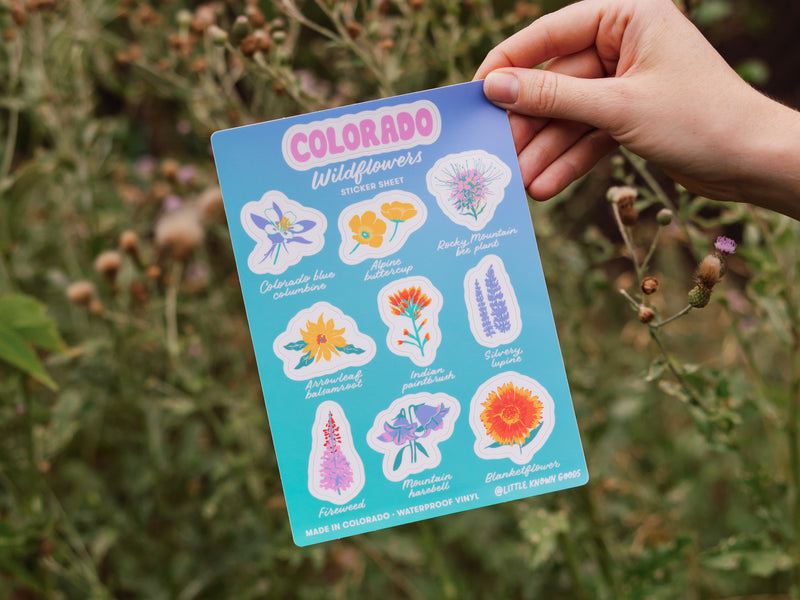
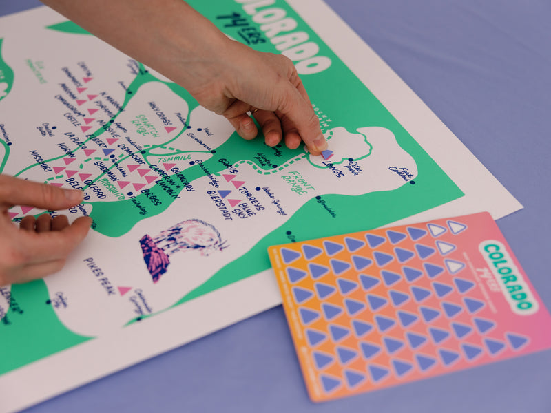
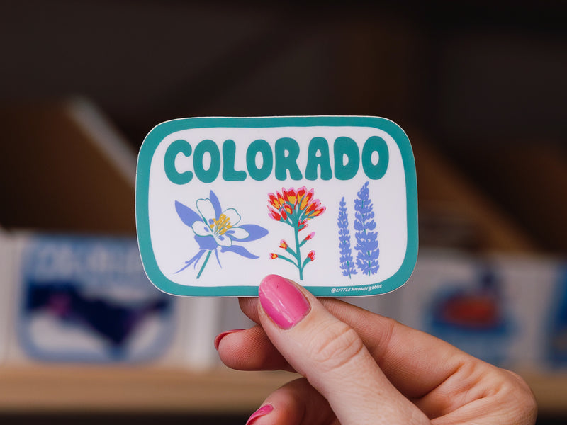
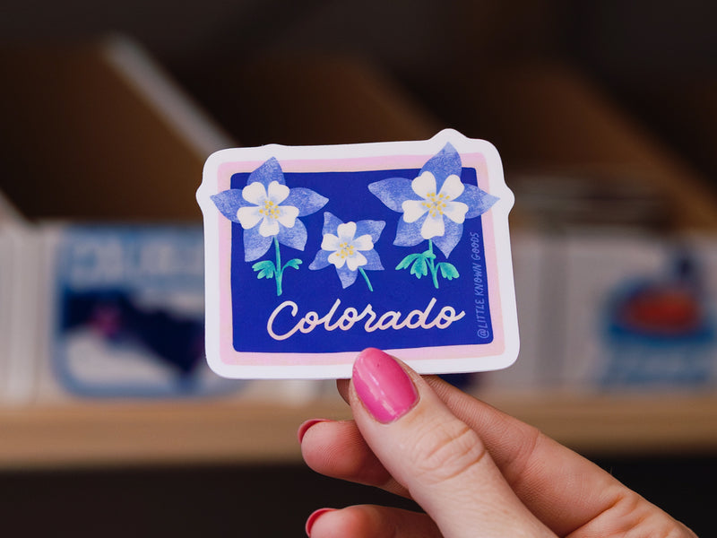
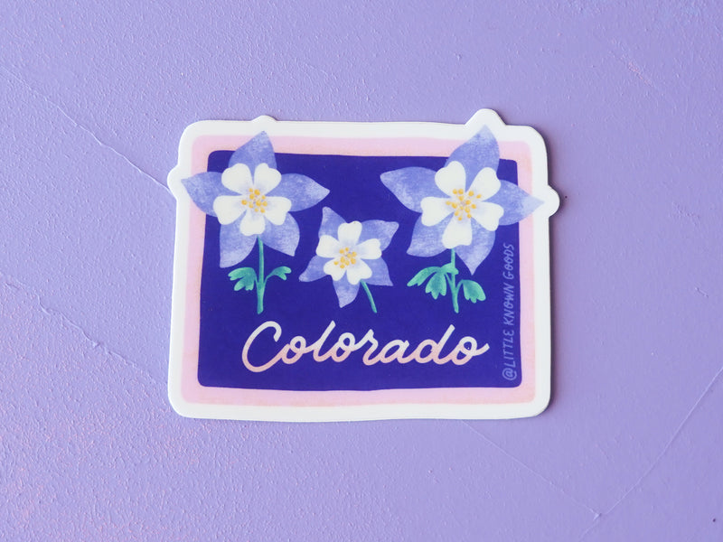
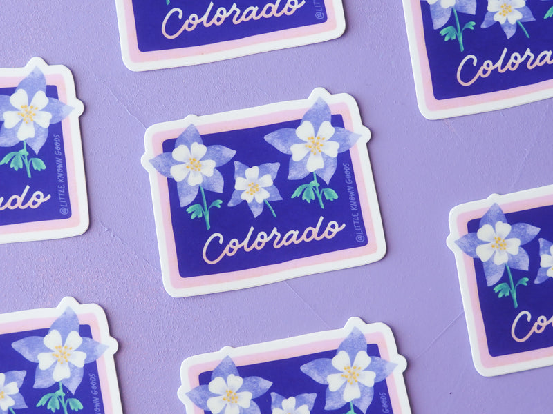
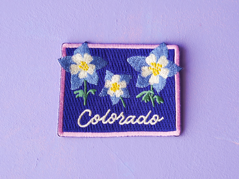
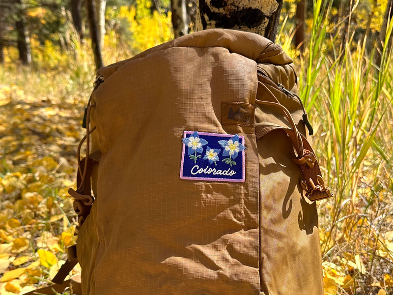
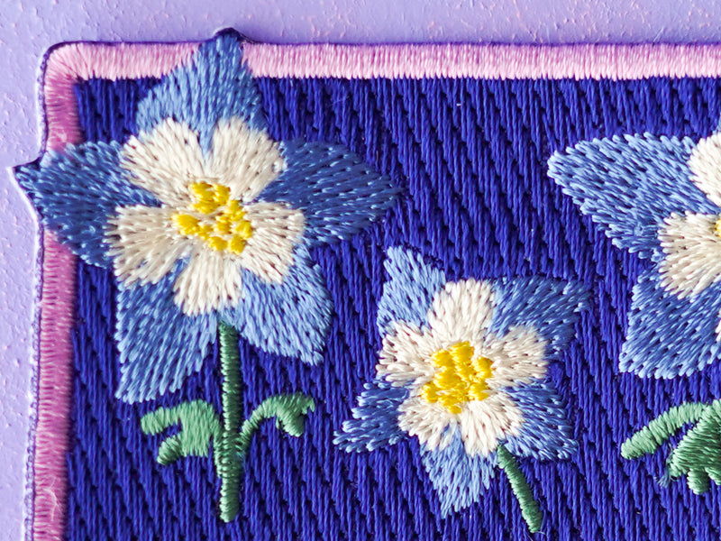
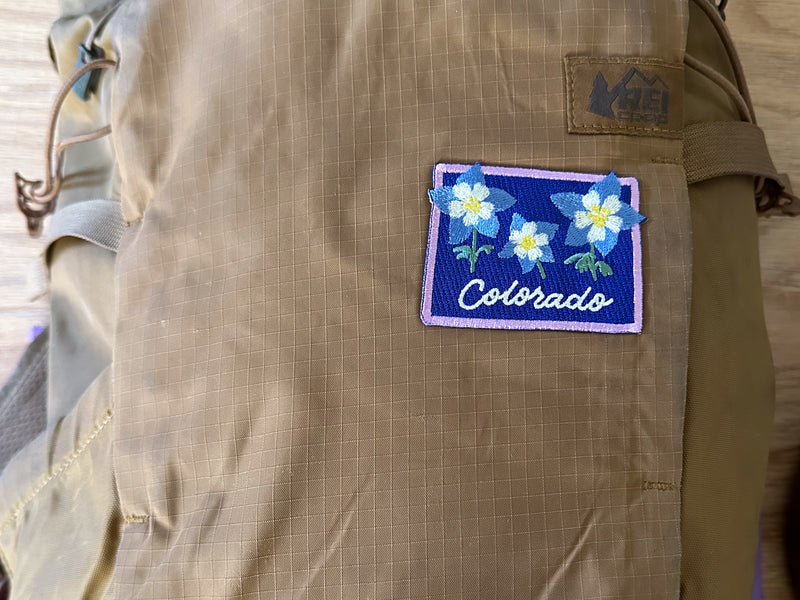
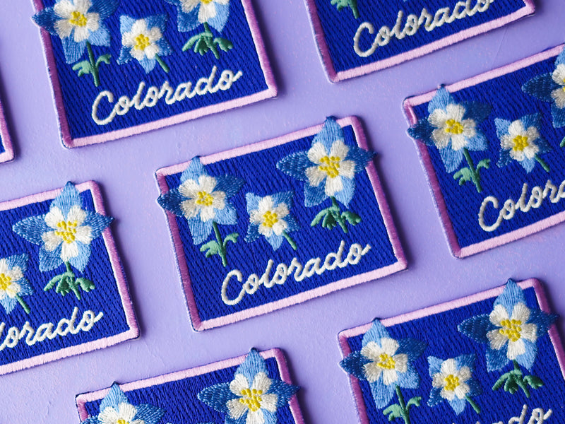
Colorado Wildflower Patch
Patch
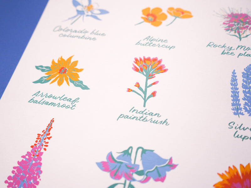
A new iron-on patch version of one of our all-time bestselling sticker designs. This patch can be ironed or sewn onto your backpack, tote, T-shirt, sweatshirt, or hat. The design features 3 popular wildflowers: Colorado blue columbines, Indian paintbrush, and Silvery lupine
$9