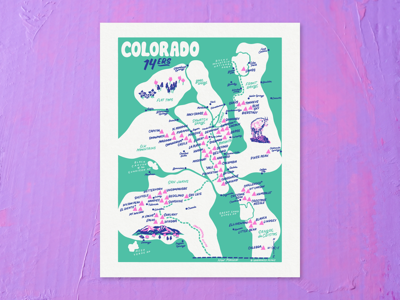
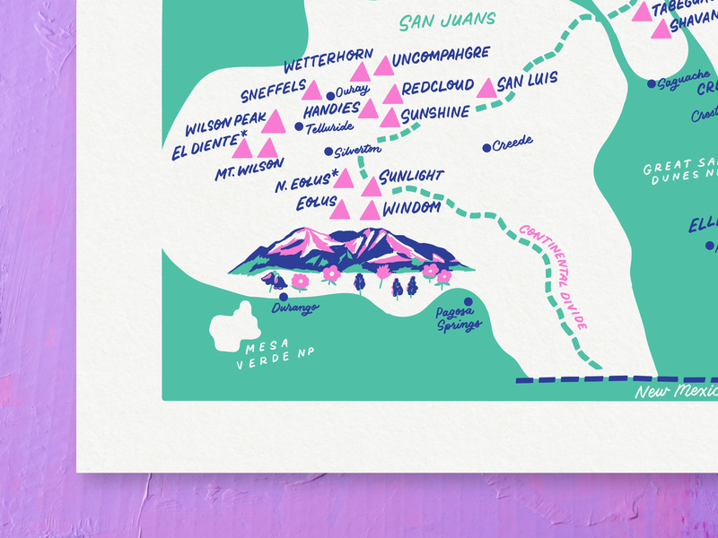
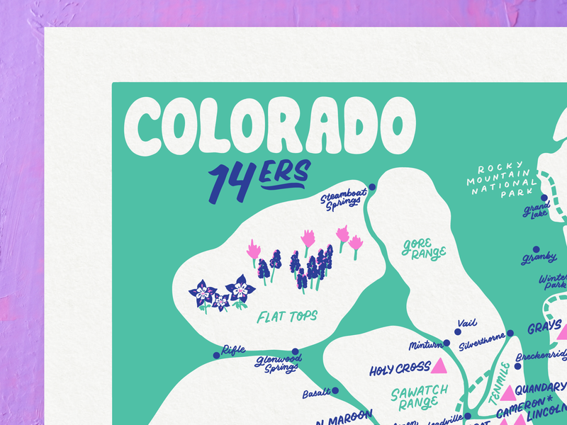
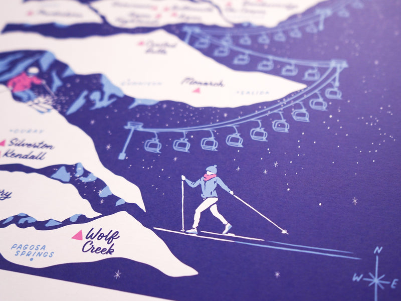
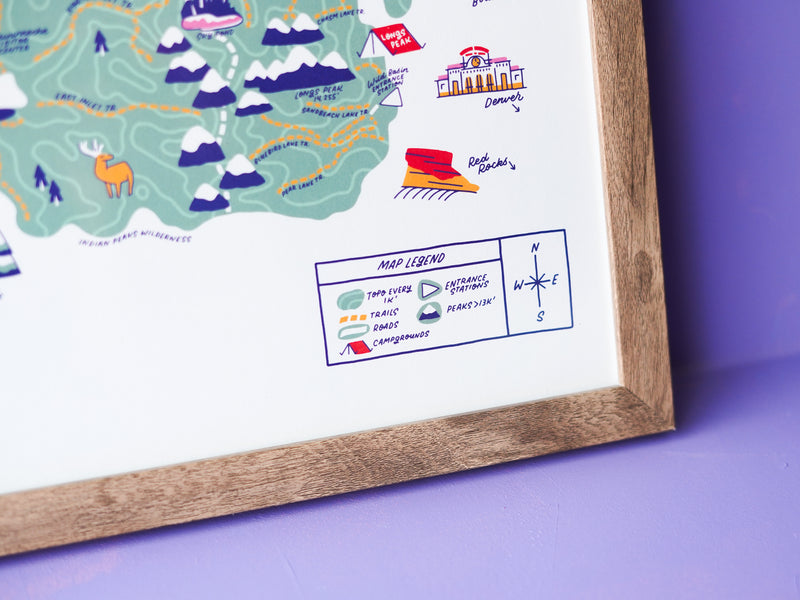
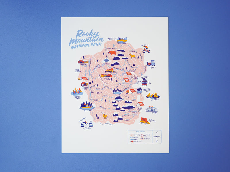
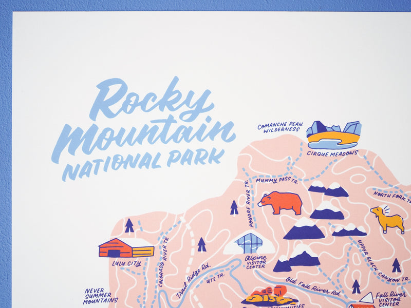
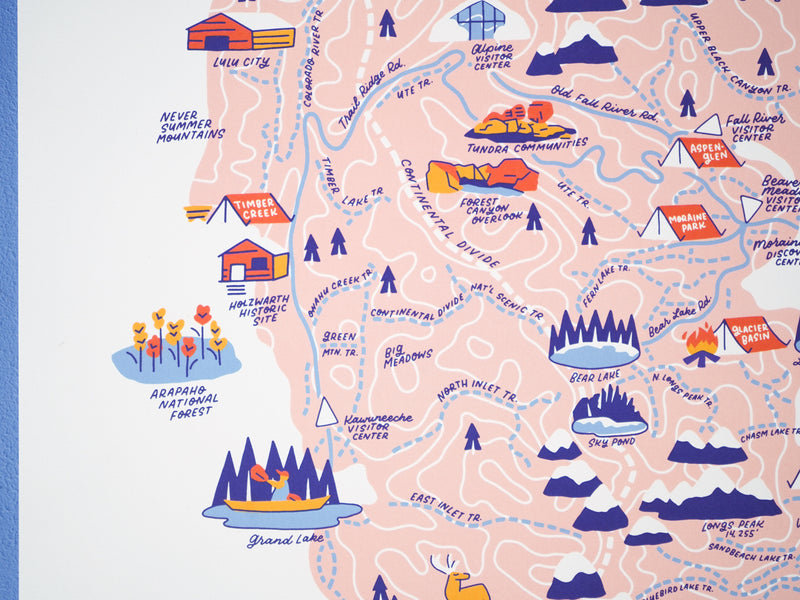
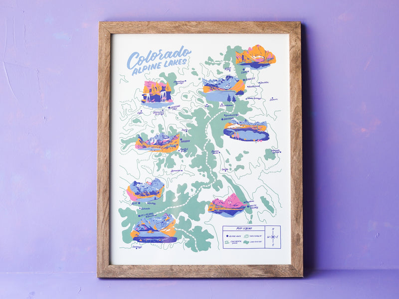
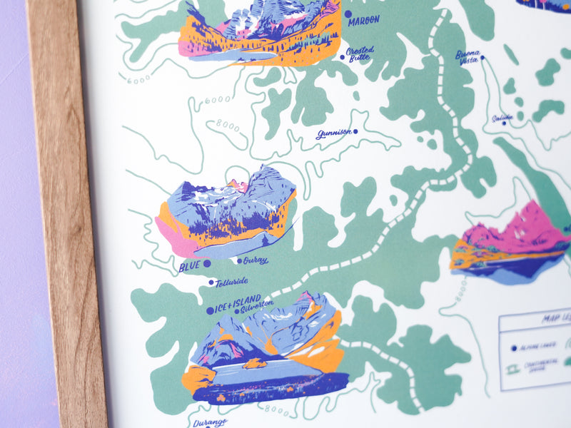
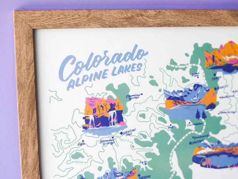
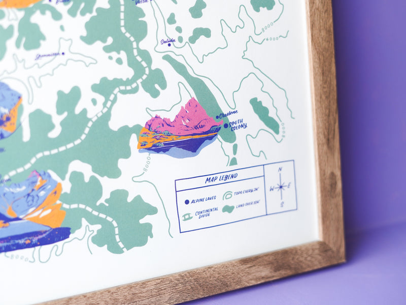
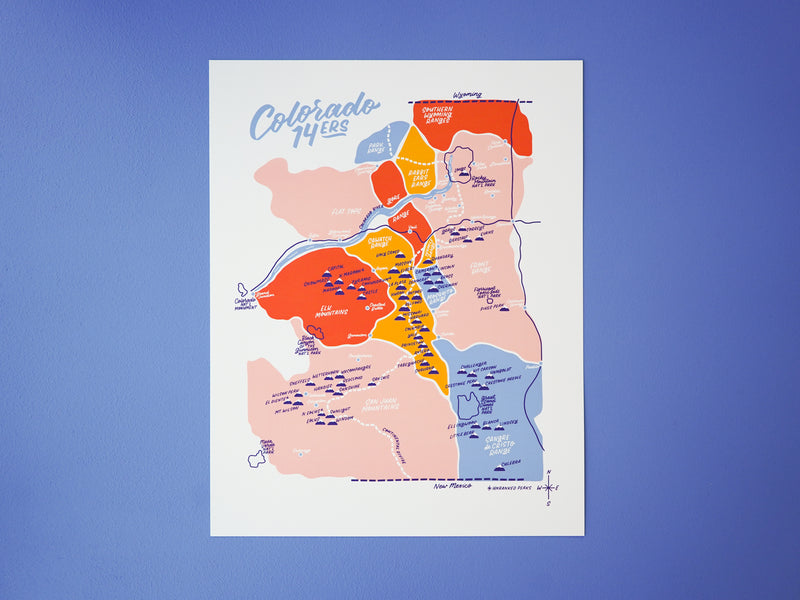
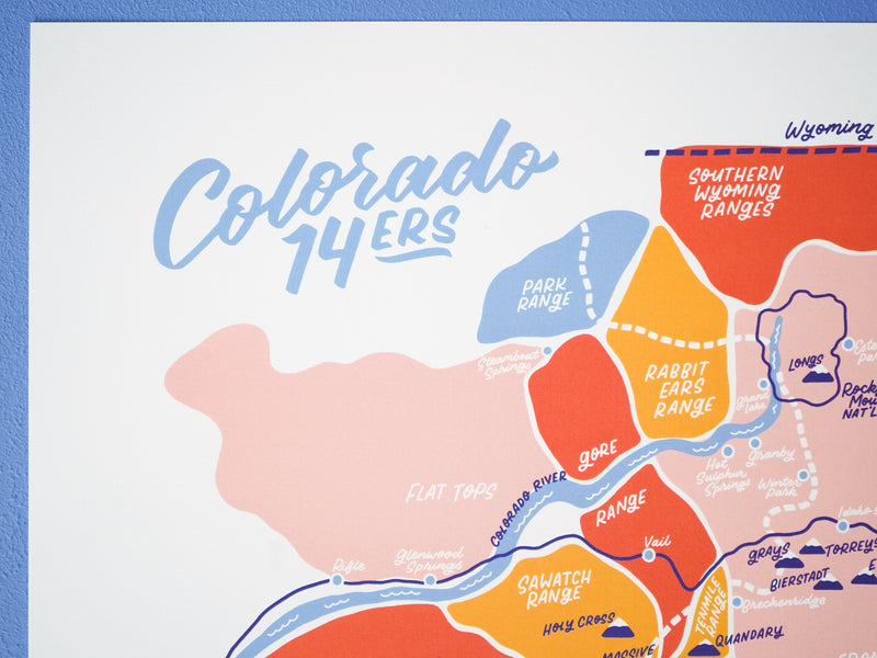
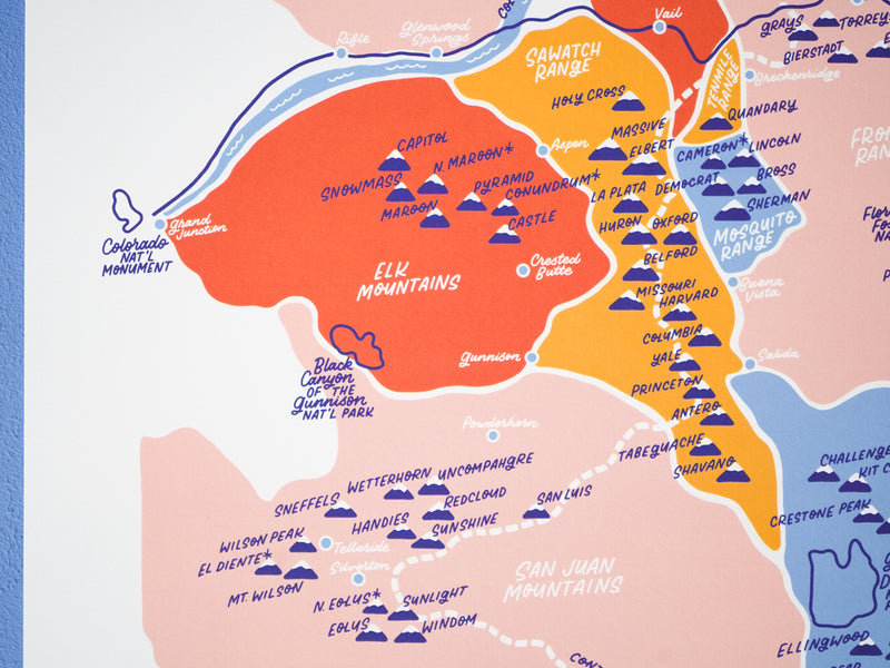
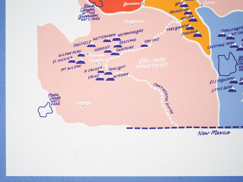
Colorado 14ers Map 2.0 - 11x14"
Print
New, updated design and color of a bestselling favorite
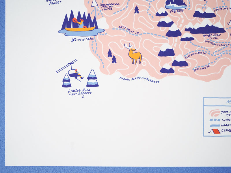
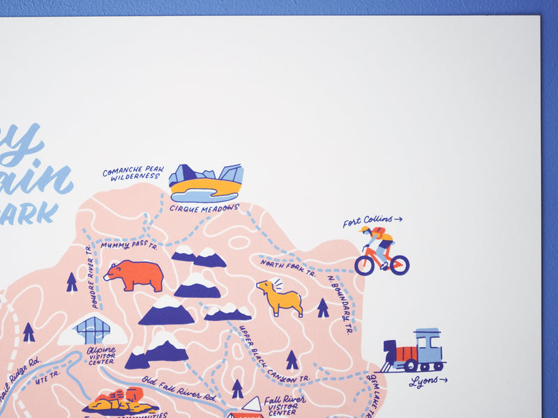
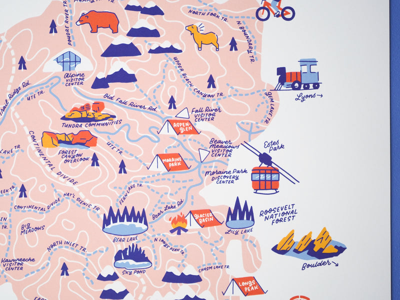
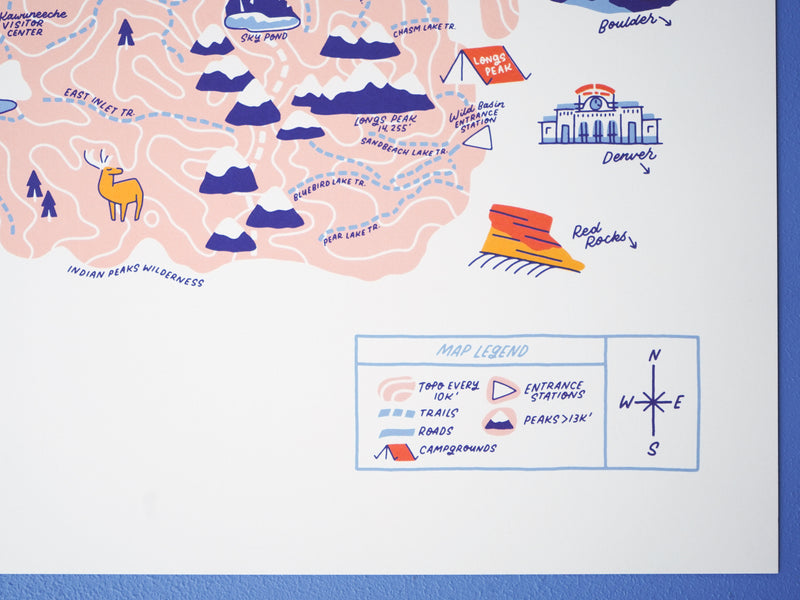
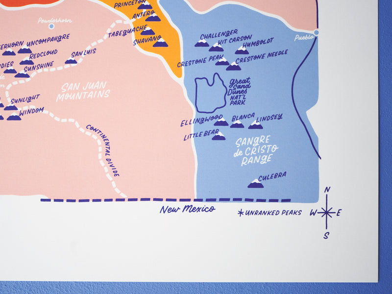
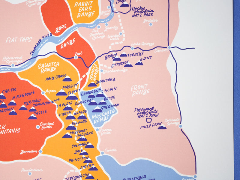
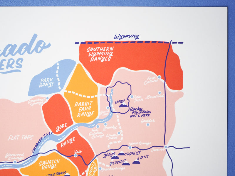
Colorado boasts the most peaks over 14,000 feet—otherwise known as fourteeners—in the U.S. Whether you’ve bagged all 58 peaks, aim to summit them, or are simply admiring them from a safe distance, this print celebrates Colorado’s dedication to elevation.
$28