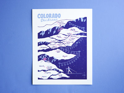
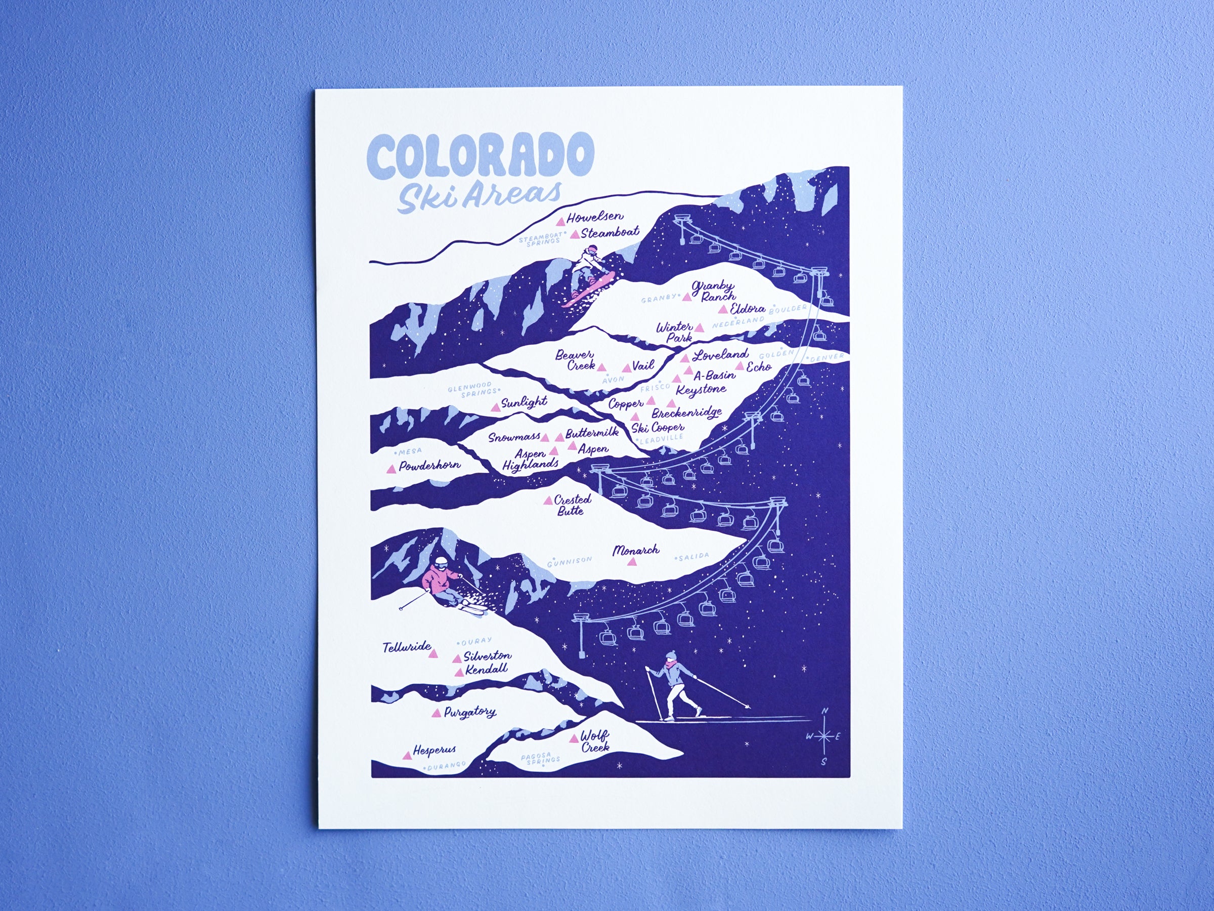
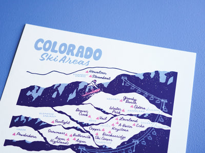
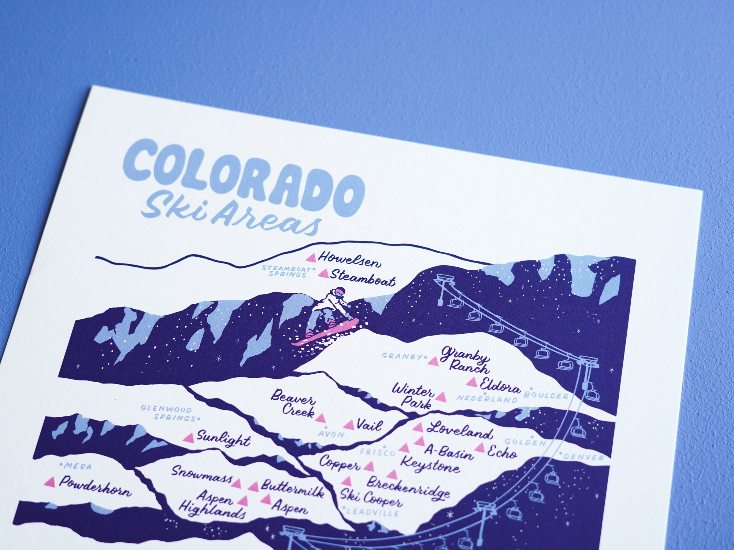
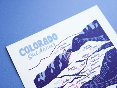
Colorado Ski Areas Map - 11x14"
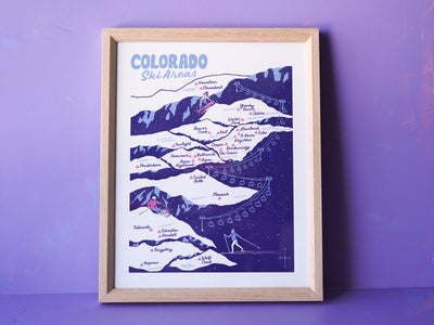
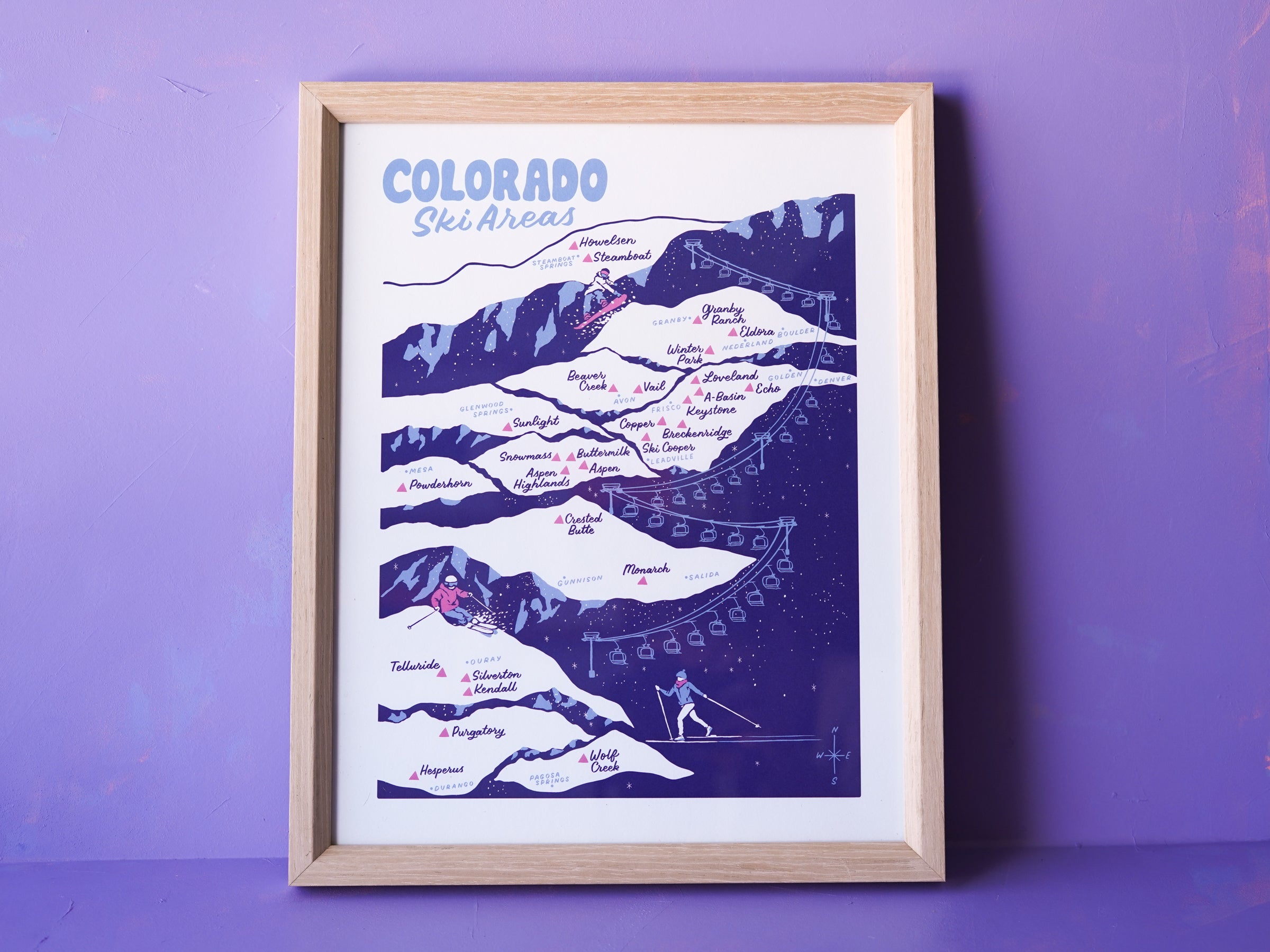


Our all-time bestselling map print
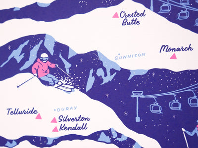
28 of Colorado's ski areas are represented on this Colorado Ski Areas map—from Steamboat in the North down to Wolf Creek, and from Echo Mountain (the closest local resort to Denver) out West to Powderhorn and Telluride.
Many are large iconic resorts, while others are smaller no-frills mountains that draw mostly locals. You'll find nearly all ski areas in the state (minus a few small ski hills) on this carefully researched and vibrantly illustrated map.
-11x14" art print
-Hand lettered and illustrated artwork
-Fade resistant with archival ink
-19 pt Savoy Cotton paper
-Printed in California, USA
-Frame not included, but option to add on natural wood frame so you don't have to deal with framing! Limited number of frames left in stock.
Looking for a larger poster size? 18"x24" screen printed version here: https://littleknowngoods.com/products/colorado-ski-areas-poster-18x24