Denver Colorado Map - 11x14"
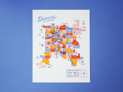
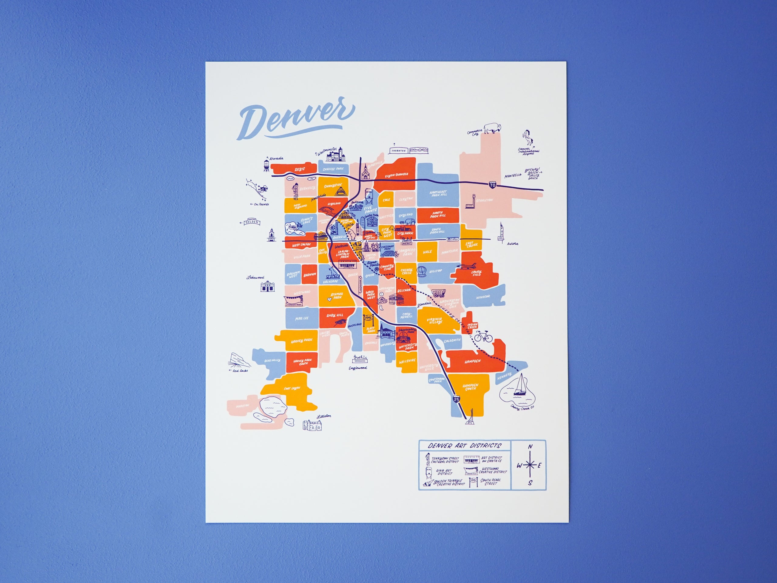

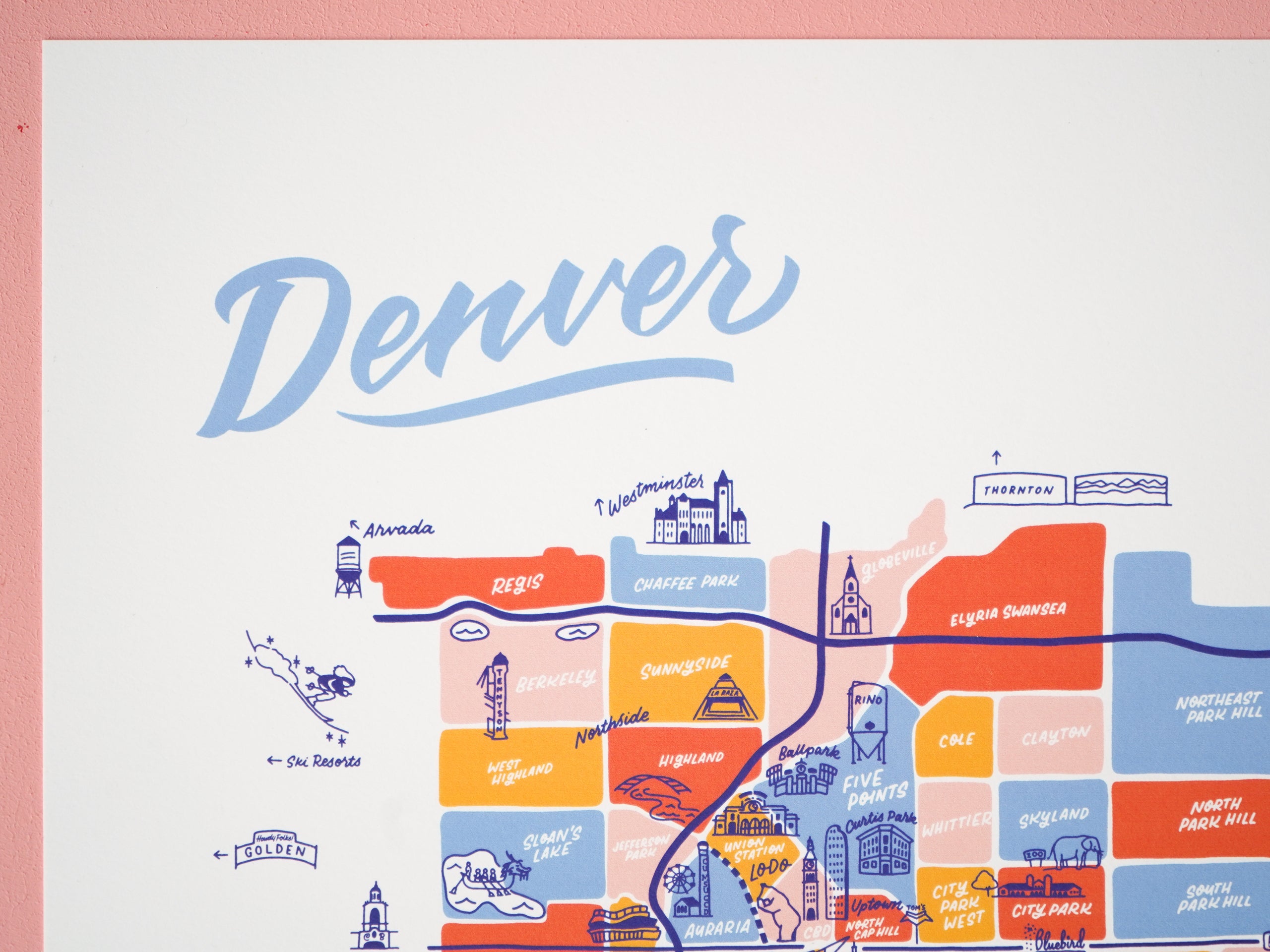

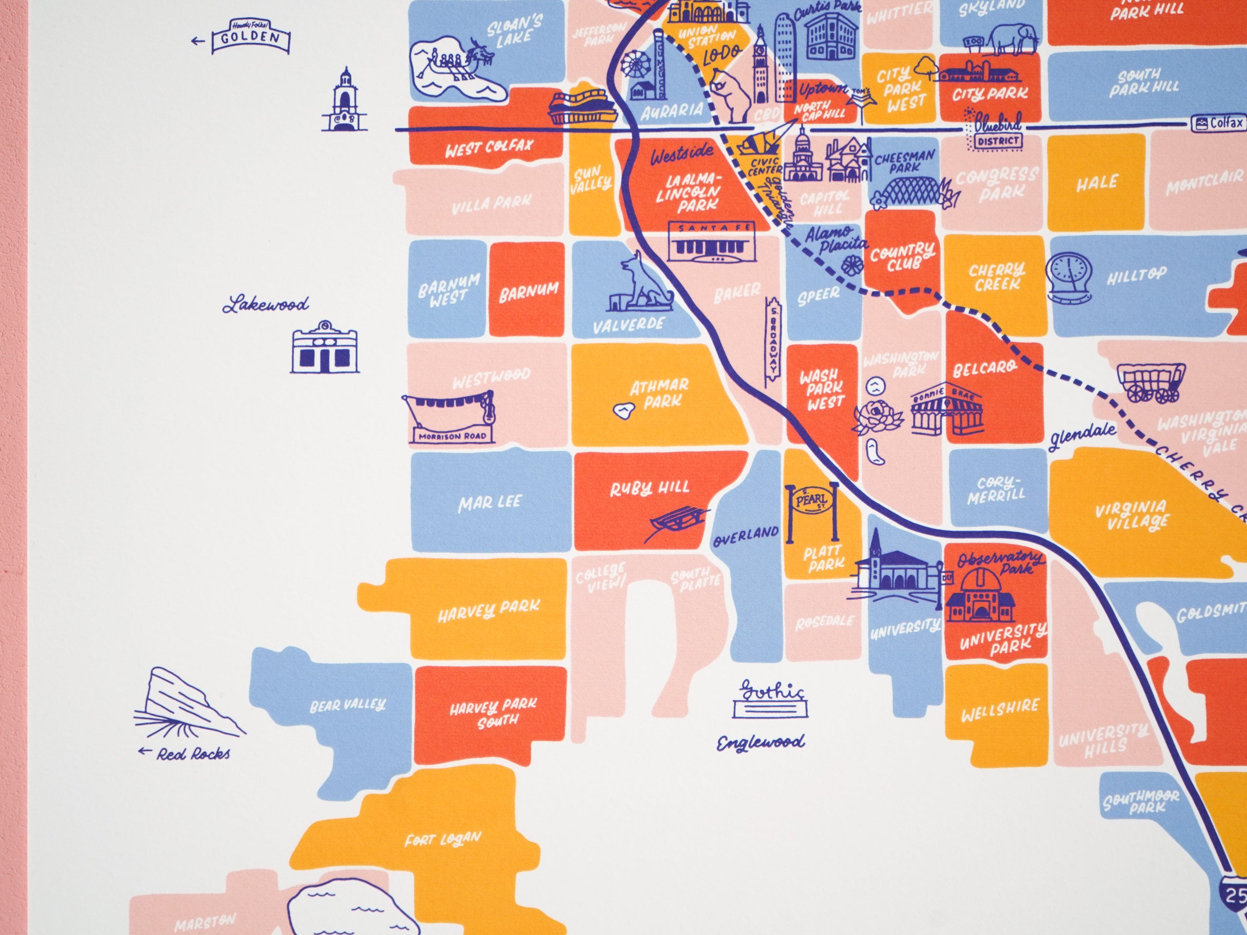
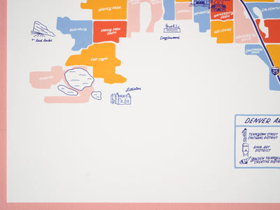

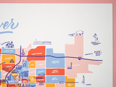
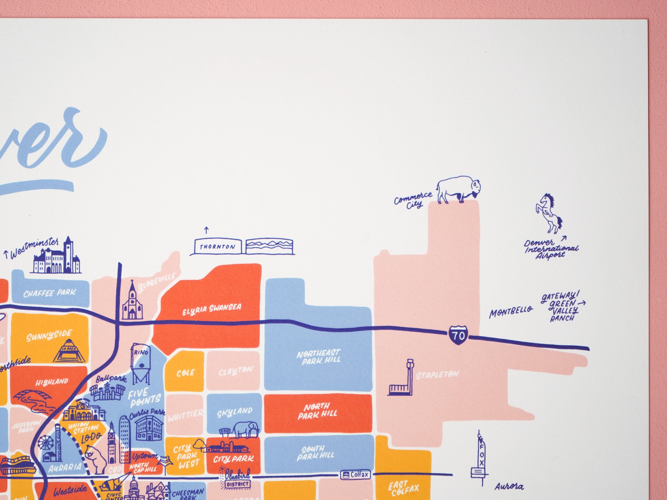

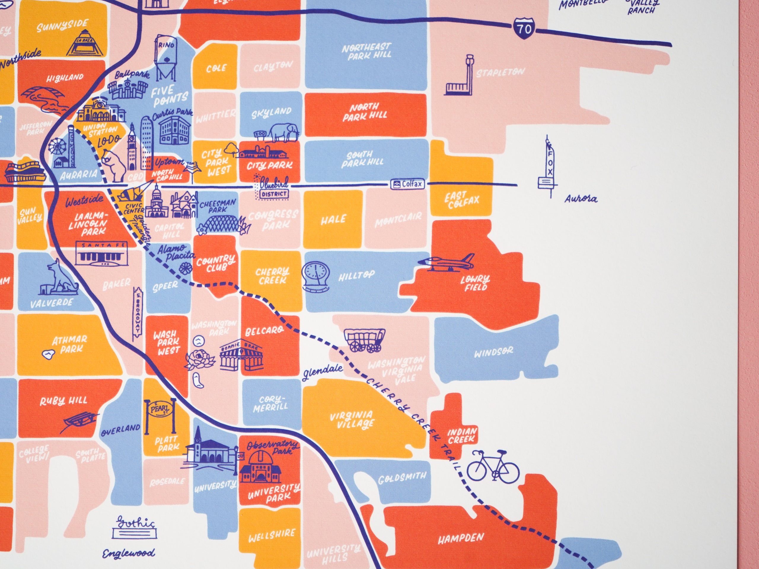
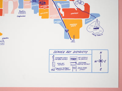
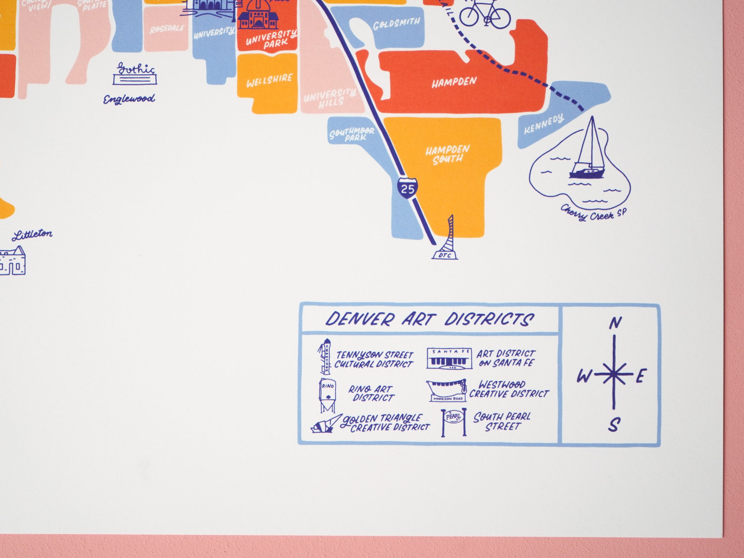

From Sloan's Lake to Central Park and Globeville to University, this map features all 78 of Denver, Colorado’s neighborhoods. It also includes 6 art districts, as well as some bordering cities and towns like Arvada, Lakewood, Littleton, and Aurora.
The neighborhoods are portrayed with vibrant ink colors and illustrations that give each part of the city a personalized feel. Our maps are based on GIS mapping data and local knowledge, so the information included is geographically accurate and also true to colloquial nicknames and favorite community spots.
-11x14" art print
-Hand lettered and illustrated artwork
-Fade resistant with archival ink
-19 pt Savoy Cotton paper
-Printed in California, USA
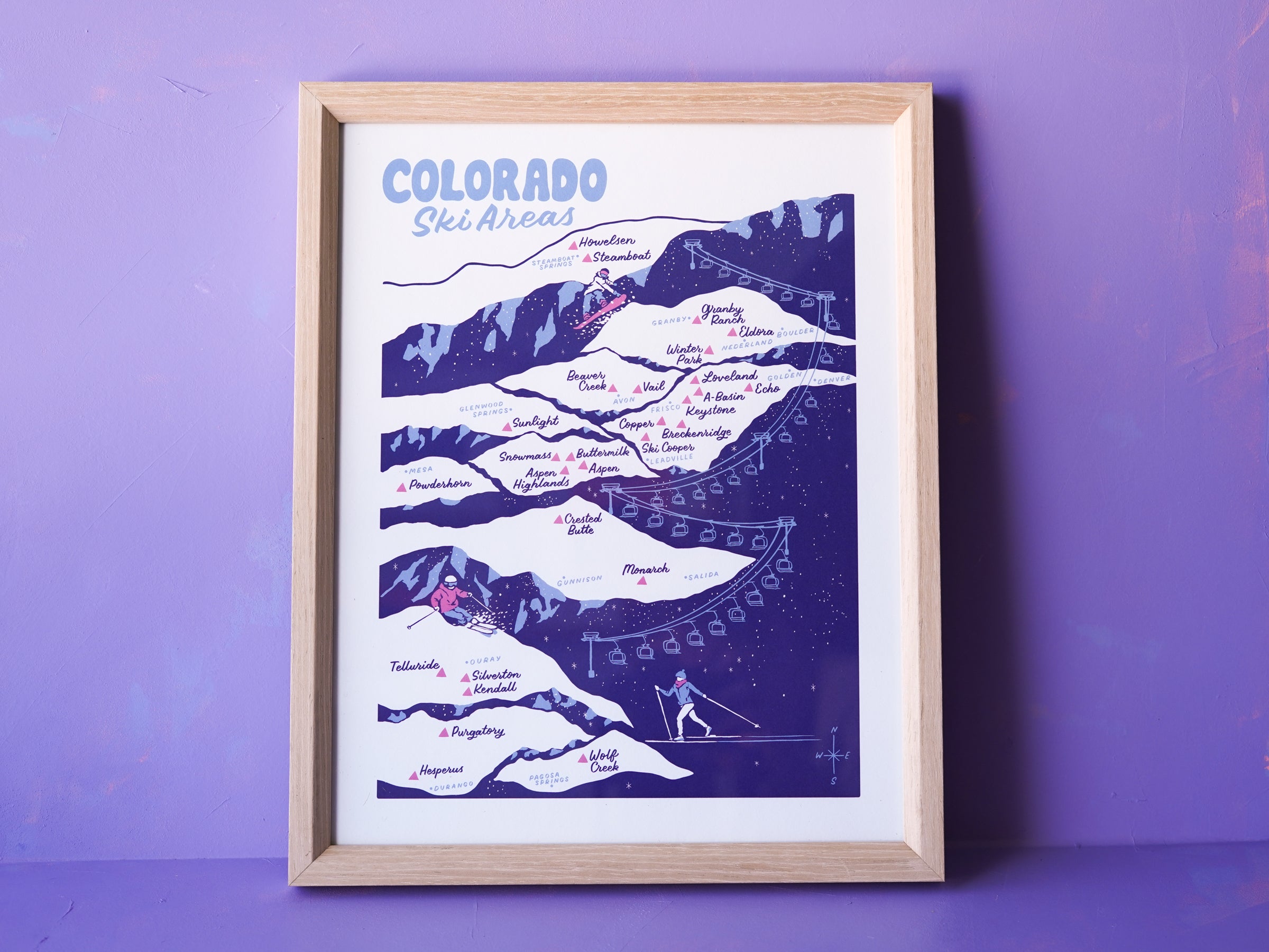
-Frame not included, but option to add on natural wood frame so you don't have to deal with framing! Limited number of frames left in stock. Frame style shown with Colorado ski map.