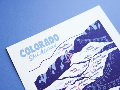
Colorado Ski Areas Map - 11x14"
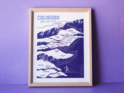
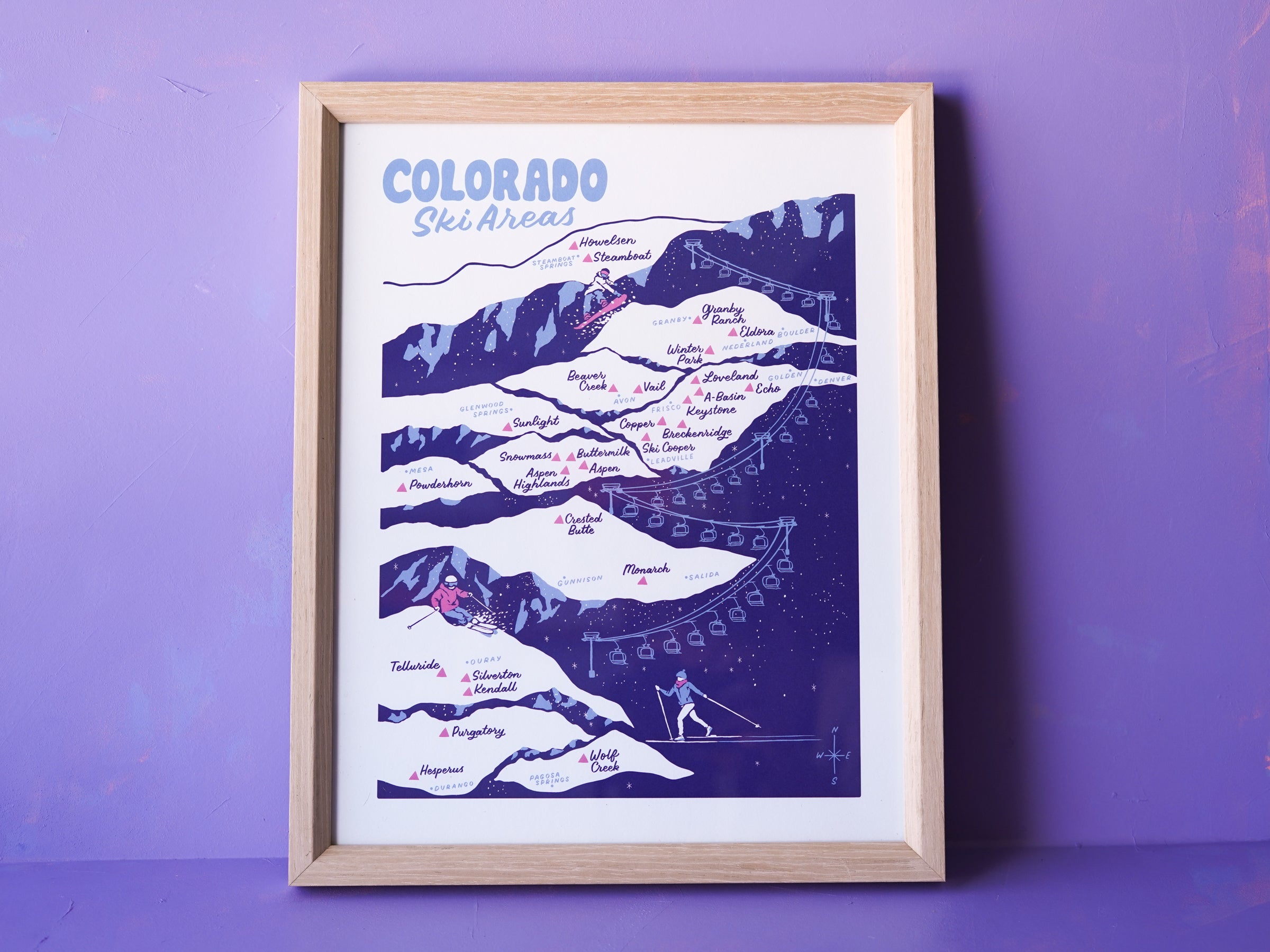
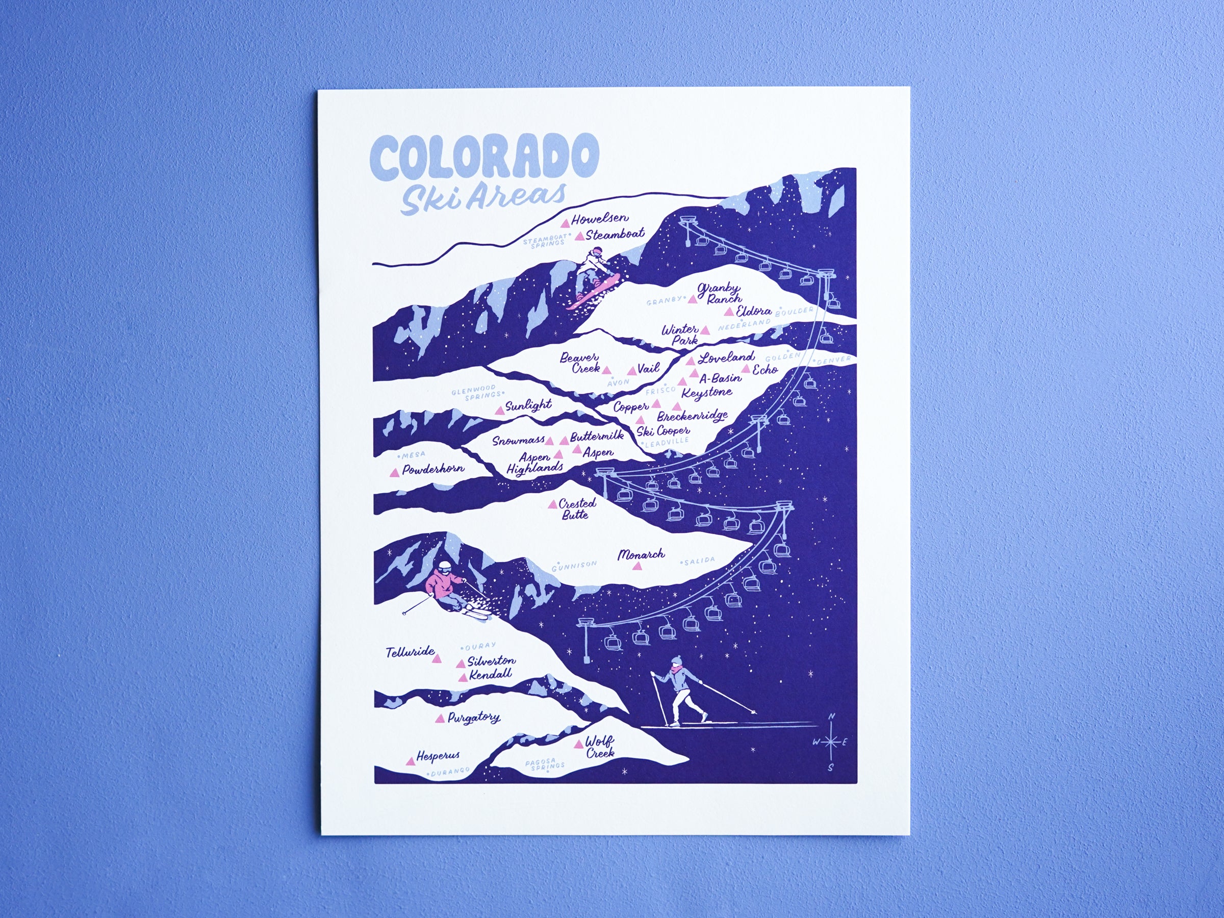
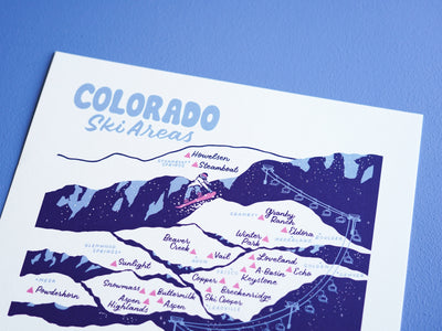
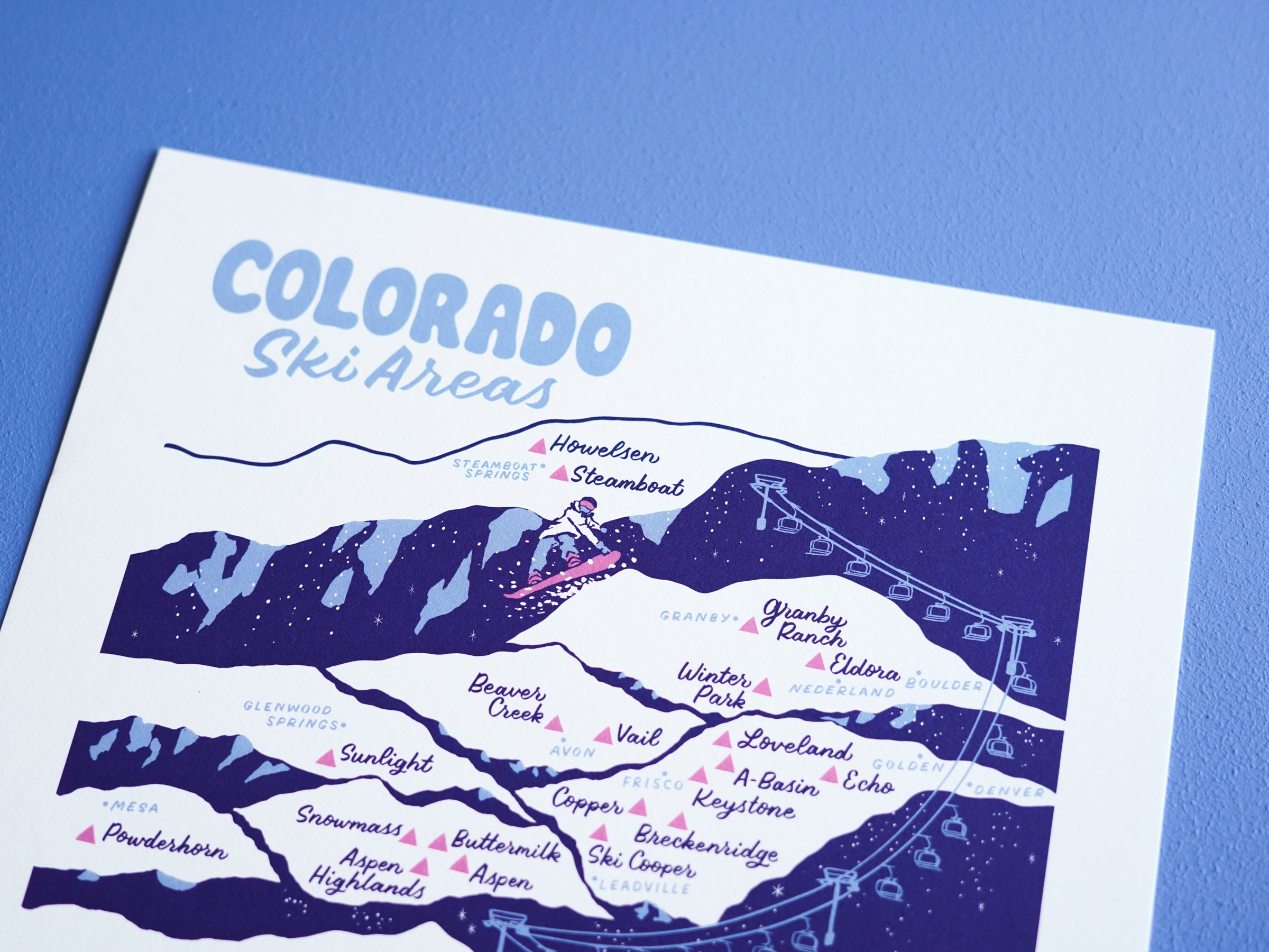
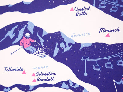


28 of Colorado's ski areas are represented on this map—from Steamboat in the North down to Wolf Creek, and from Echo Mountain (the closest local resort to Denver) out West to Powderhorn and Telluride.
Many are large iconic resorts, while others are smaller no-frills mountains that draw mostly locals. We did leave off just a few tiny ski hills due to space on the map, but you'll find nearly all ski areas in the state on this carefully researched and illustrated map.
Fade resistant 11×14ʺ print with archival ink on 19 pt Savoy Cotton paper. Shipped with plastic-free sustainable packaging. Frame not included.